Follow us
- Home
- About UsThe Organization
- NCA & NCAA
- Conservation
- TourismAttractions and Activities
- Cultural Heritage
- Geopark
- Community


The United Republic of Tanzania
NGORONGORO CONSERVATION AREA AUTHORITY
The United Republic of Tanzania
NGORONGORO CONSERVATION AREA AUTHORITY
Follow us
- Home
- About UsThe Organization
- NCA & NCAA
- Conservation
- TourismAttractions and Activities
- Cultural Heritage
- Geopark
- Community
- Home
- About UsThe Organization
- NCA & NCAA
- Conservation
- TourismAttractions and Activities
- Cultural Heritage
- Geopark
- Community
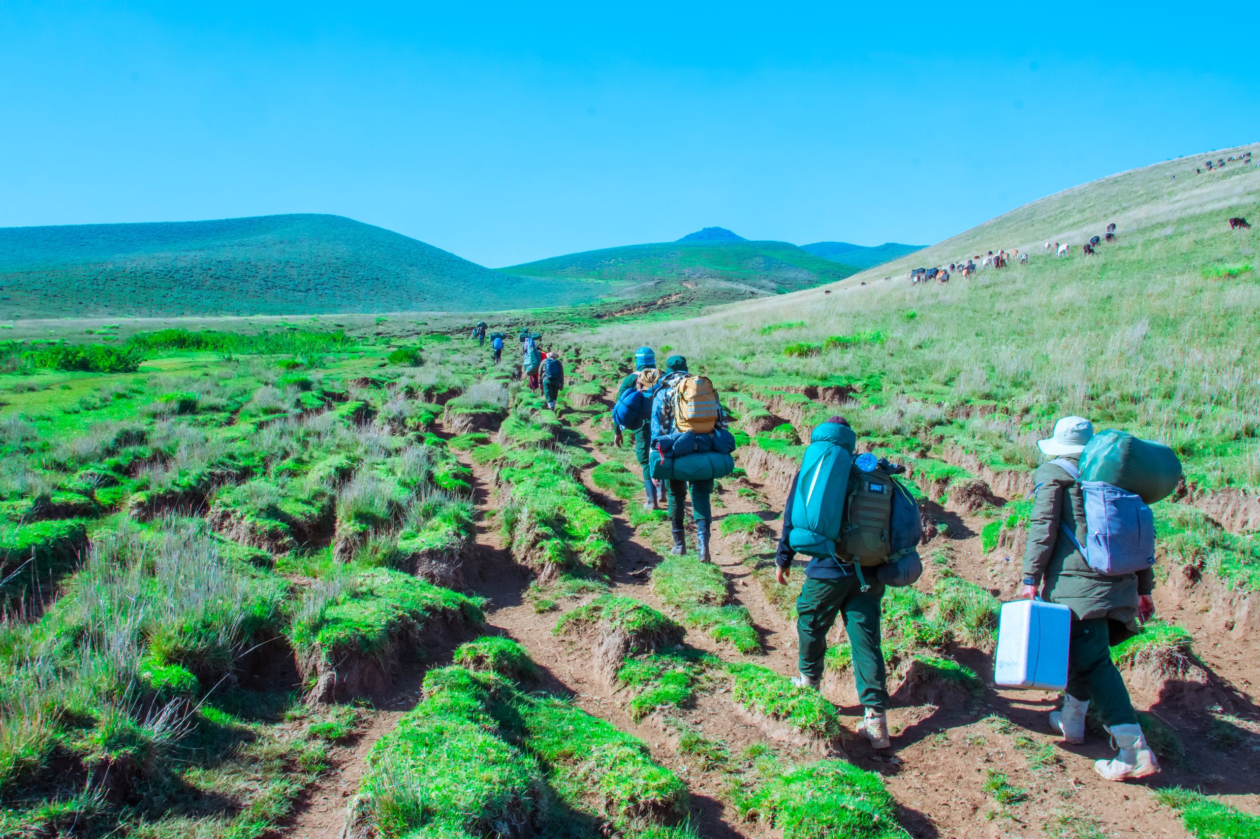
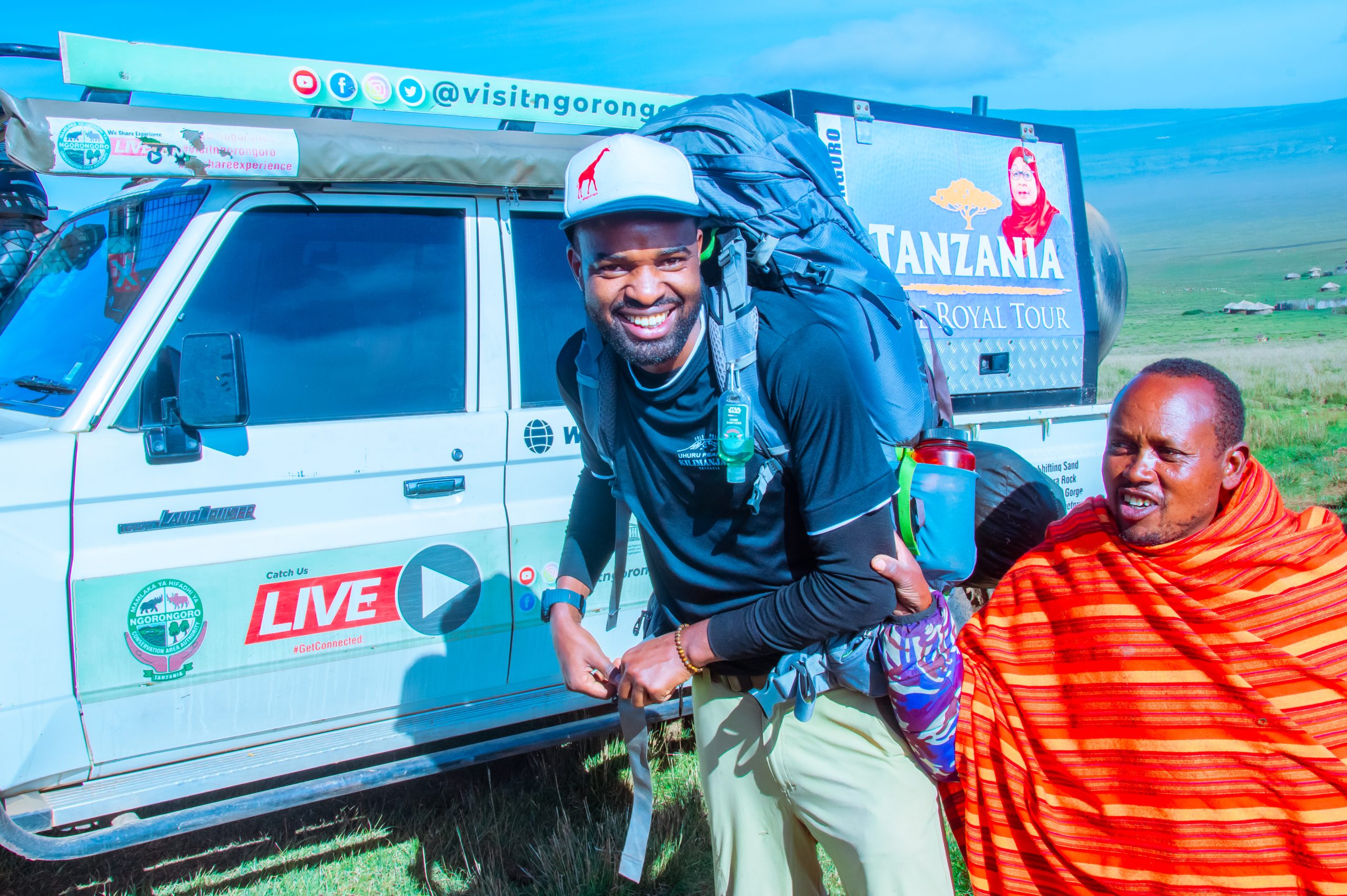
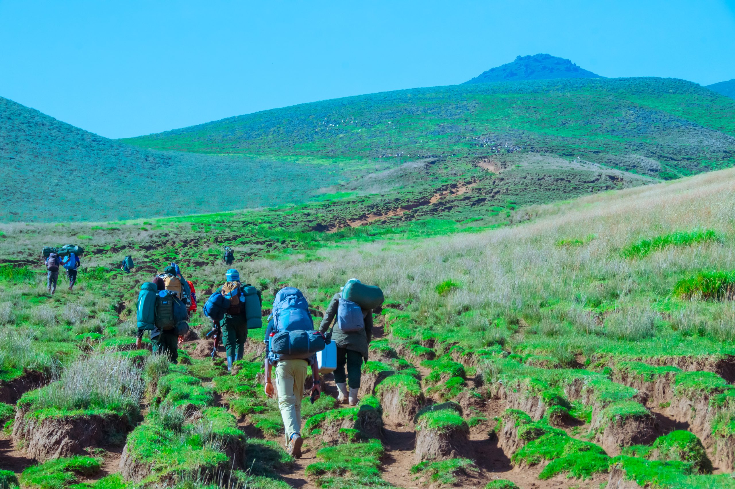
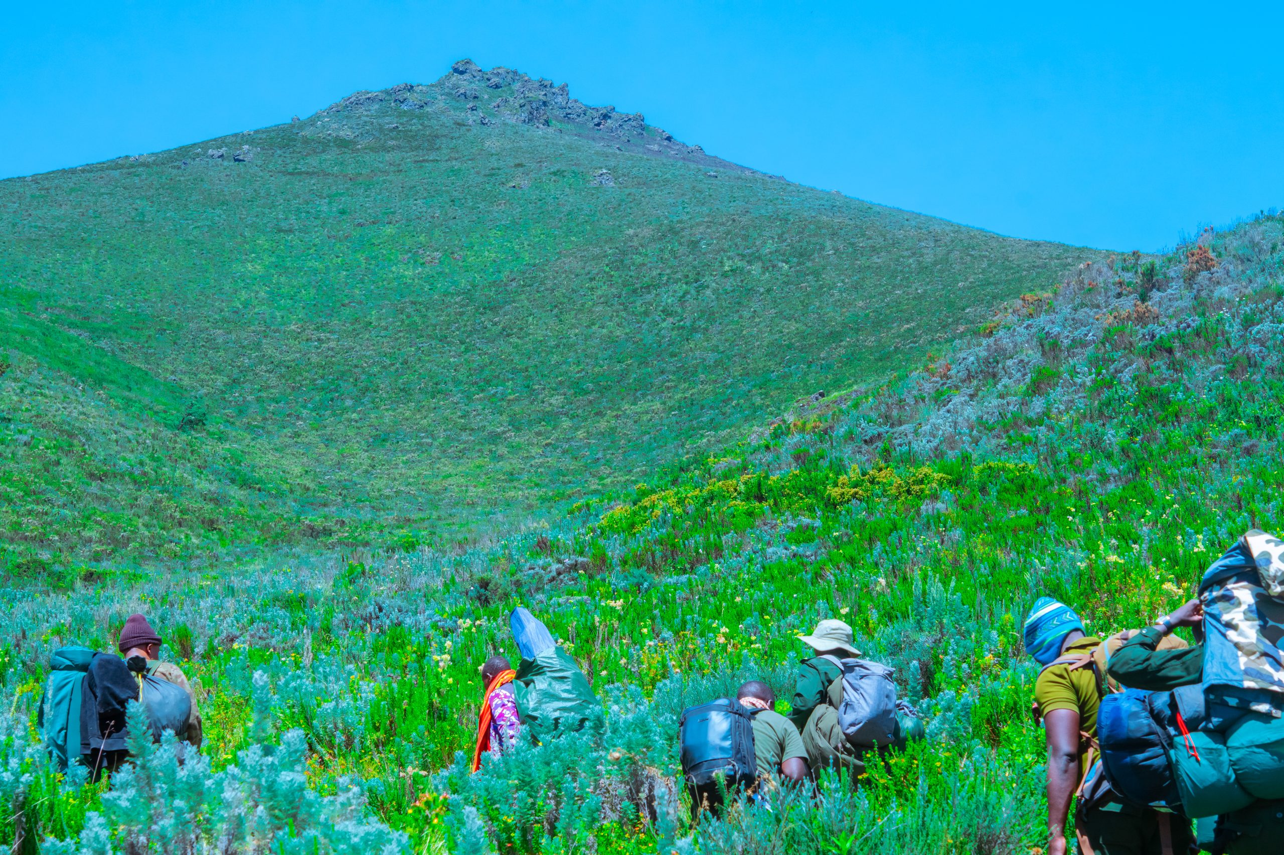
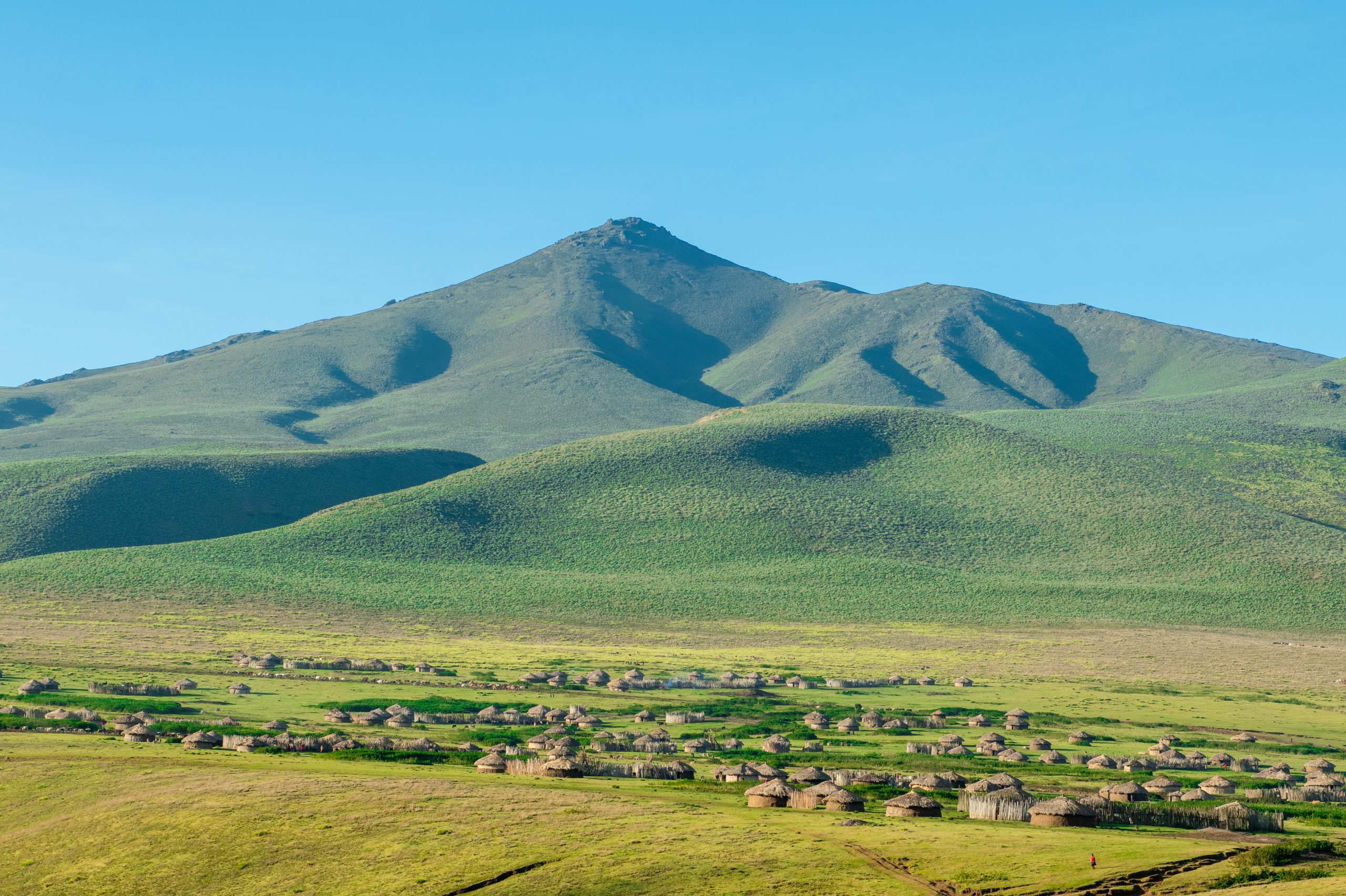
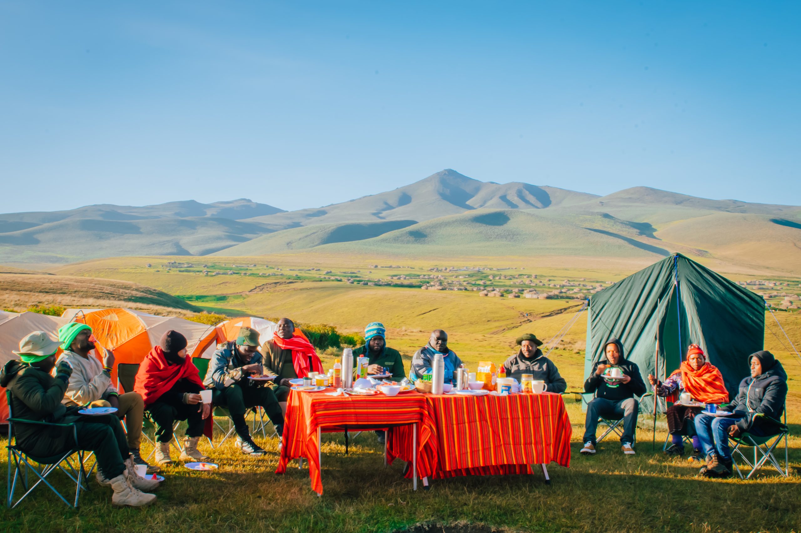
Lolmalasin Mountain
Overview
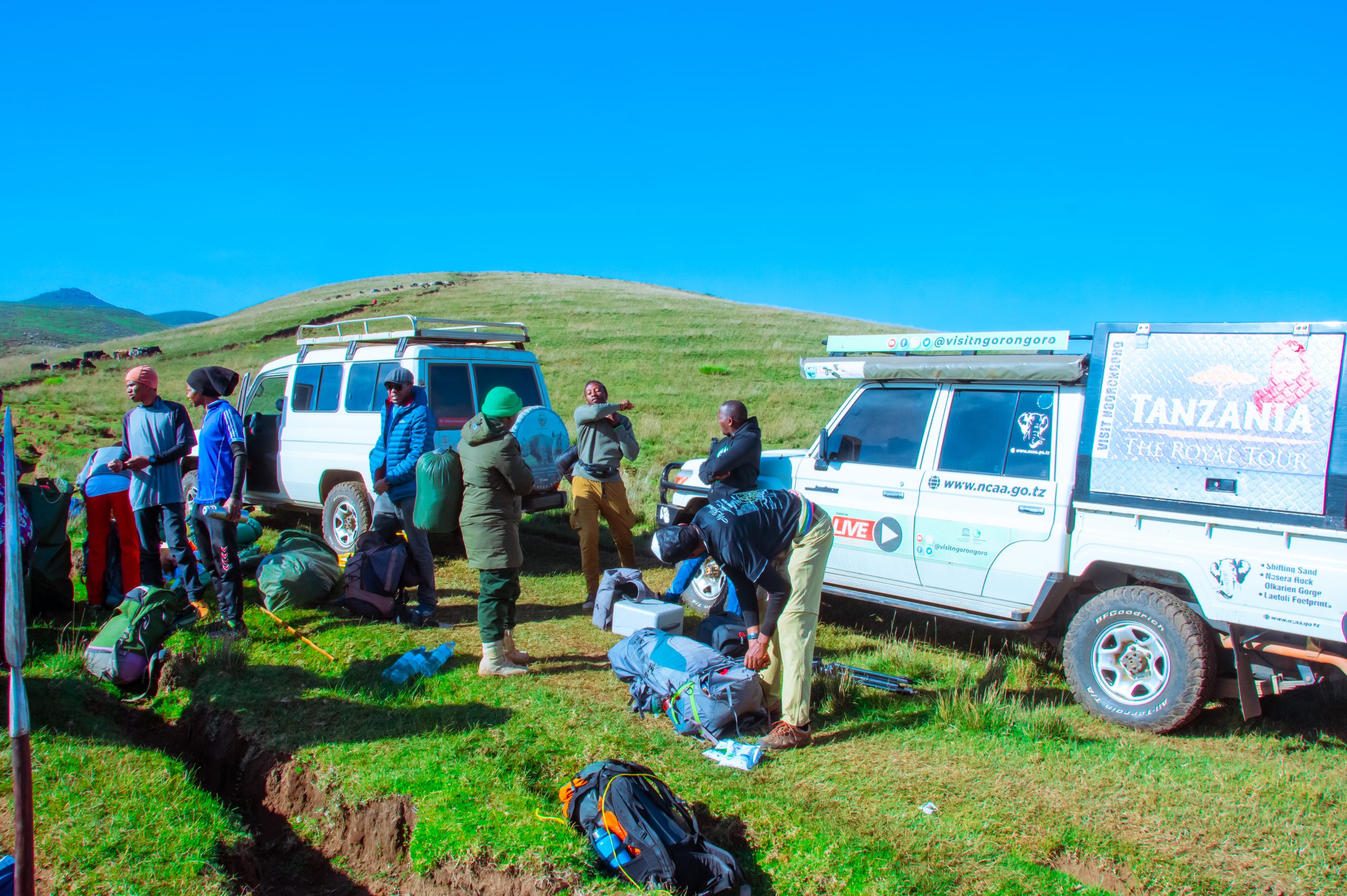
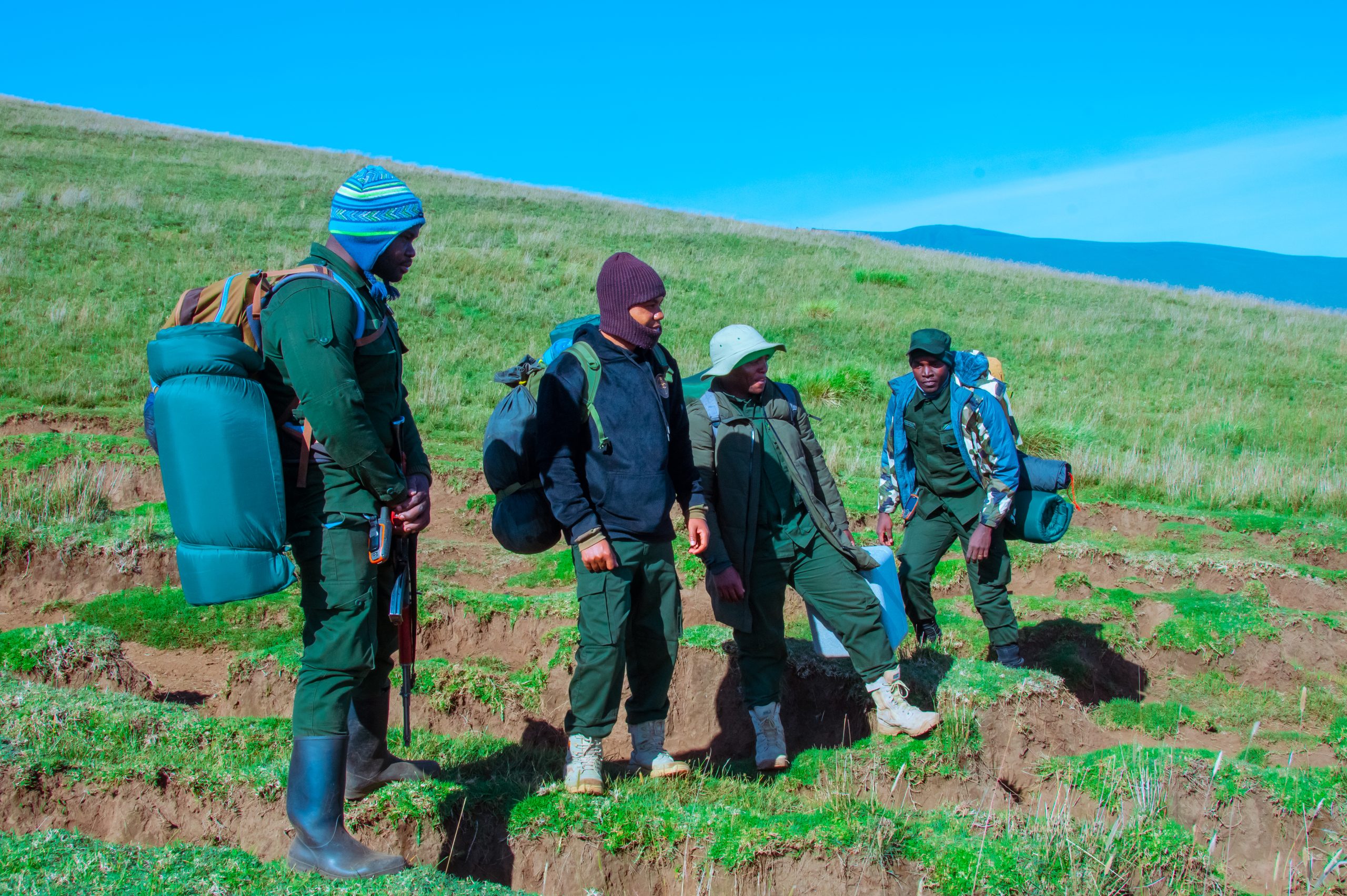
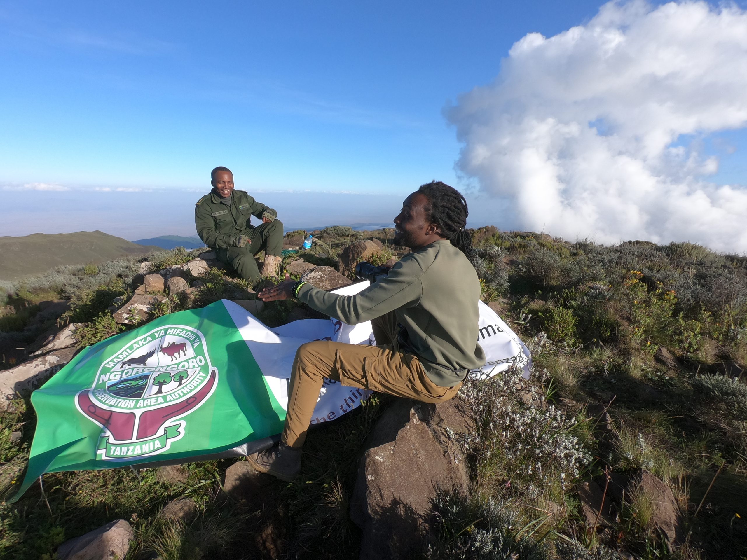
Mount Lolmalasin is the highest crater mountain in the Ngorongoro Conservation Area and the third tallest mountain in Tanzania and the second highest peak in Arusha region after Mount Kilimanjaro and Mount Meru, reaching about 3,700 meters (12,080 ft) above sea level. The mountain lies near the Olmoti Crater on route to Empakaai Crater on the Ngorongoro Conservation Area's eastern border.
3,700m
Height above sea level
3,260m
Mount Losirua
Map
- Mountain
- Hiking, Camping
Photo Gallery
Got a Question?
F.A.Q's
The Mount Lolmalasin is located to the highlands of Ngorongoro Conservation Area.
Yes, due to its height around 3,700 meter above sea level is a suitable for acclimatization.
This is the third highest mountain in Tanzania after Kilimajaro and Mount Meru.
For climbers it is recommended to hike during the driest times which are the months of May to October; although there are other visitors who dare to hike even during the rainy season but are equipped with cold protective equipment.
Lolmalasin is highest summit (3700m) followed by Losirua (3260m) above sea level in the Ngorongoro Highlands.
EXPERIENCE | EXPLORE | LEARN
OTHER ATTRACTIONS
The Ngorongoro Crater is the world's largest intact and unfilled volcanic caldera and the Ngorongoro Conservation Area's main tourists’ attraction.
The Olduvai Gorge is a remarkable archaeological site in East Africa and It is the one of the most important prehistoric sites in the world with crucial evidence of human evolution.
The Empakai crater is one of the multi-volcanic calderas in the Ngorongoro Conservation Area, with a beautiful lake that makes up more than 75% of its crater floor.
The Nasera rock is situated about 20 kilometers North of Olduvai Gorge. An admirable rock standing 100 metres above the plains.
The Olduvai Gorge Museum is an onsite museum built next to the most famous archaeological site in East Africa. It is situated six kilometers from the main road junction where the Zinjanthropus monument stands on the way to Serengeti National Park.
The Endoro Waterfalls is a source of a natural spring that forms the Endoro River, which flows from the rim of the Ngorongoro Crater.
The Olkarien Gorge is a massive granite monolith on the outskirts of the Gol Mountains in northern Tanzania.It is a nesting site for hundreds of the Ruppell's griffon vulture.
Olmoti Crater is situated at the Northern end of the Ngorongoro Crater, and offers scenic view of highlands. It is a water a catchment for Ngorongoro rich in flora and fauna.
Laetoli is one of Africa's most important paleontological site with evidence of early human bipedalism dating back 3.76 mya.
Is a moving black dune, composed of volcanic ash from the nearby volcanic mountain - oldoinyo lengai. It is moving slowly westwards across the Ngorongoro plains at a rate of about 15 to 20m per year.
Mount Lolmalasin is the crater mountain in the Ngorongoro Conservation Area and the third highest mountain in Tanzania standing at 3700m above sea level.
The Gol Mountains are located at the north-end of the Ngorongoro Conservation Area and is an example of a fault-bounded mountain range.
The Ndutu plains is located in the Ngorongoro Conservation Area, on the outskirts of the Southern Serengeti plains. It is where the great migration wildebeest migration take place in Ngorongoro.
GIVE US YOUR FEEDBACK
what is your experience at NCAA
FAST RESPONSE
chat with our representative
TARIFFS
entry fee, motor vehicle, crater fee etc
GIVE US YOUR FEEDBACK
what is your experience at NCAA
FAST RESPONSE
chat with our representative


- COVID 19 POLICY & GUIDELINE